
Pearce topographic map
Interactive map
Click on the map to display elevation.
About this map
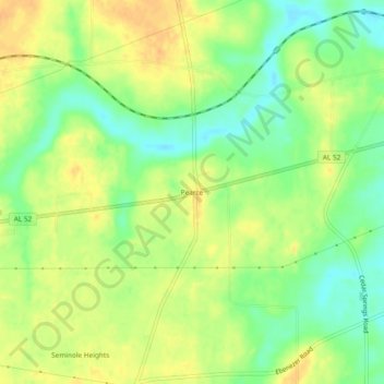
Name: Pearce topographic map, elevation, terrain.
Location: Pearce, Houston County, Alabama, 36376, USA (31.23879 -85.24604 31.27879 -85.20604)
Average elevation: 236 ft
Minimum elevation: 177 ft
Maximum elevation: 285 ft