
s'Arenella topographic map
Interactive map
Click on the map to display elevation.
About this map
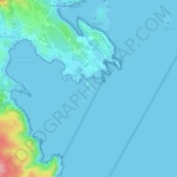
Name: s'Arenella topographic map, elevation, terrain.
Location: s'Arenella, Port Lligat, España (42.28033 3.29171 42.28248 3.29373)
Average elevation: 36 ft
Minimum elevation: 0 ft
Maximum elevation: 436 ft