
Parga topographic map
Interactive map
Click on the map to display elevation.
About this map
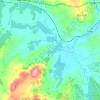
Name: Parga topographic map, elevation, terrain.
Location: Parga, Guitiriz, Lugo, Galicia, 27380, España (43.12638 -7.89056 43.17562 -7.80944)
Average elevation: 1,483 ft
Minimum elevation: 1,365 ft
Maximum elevation: 1,854 ft
Other topographic maps
Click on a map to view its topography, its elevation and its terrain.