
Huaura topographic map
Interactive map
Click on the map to display elevation.
About this map
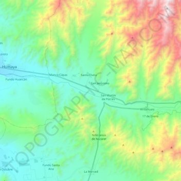
Name: Huaura topographic map, elevation, terrain.
Location: Huaura, Sayán, Huaura, Lima, Peru (-11.14545 -77.42091 -11.10581 -77.20617)
Average elevation: 2,628 ft
Minimum elevation: 981 ft
Maximum elevation: 6,883 ft