
Kenya topographic map
Interactive map
Click on the map to display elevation.
About this map
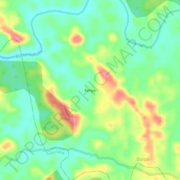
Name: Kenya topographic map, elevation, terrain.
Location: Kenya, Sulya taluk, Dakshina Kannada, Karnataka, India (12.67205 75.48012 12.71205 75.52012)
Average elevation: 367 ft
Minimum elevation: 259 ft
Maximum elevation: 541 ft