
El Carito topographic map
Interactive map
Click on the map to display elevation.
About this map
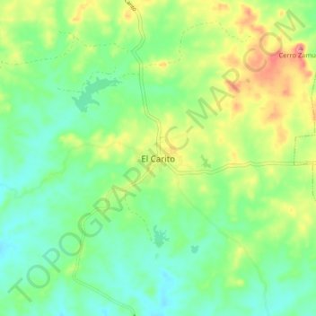
Name: El Carito topographic map, elevation, terrain.
Location: El Carito, Distrito Libertad, Estado Anzoátegui, Venezuela (9.74735 -64.77925 9.82735 -64.69925)
Average elevation: 410 ft
Minimum elevation: 295 ft
Maximum elevation: 620 ft