
Mont Grand Matoury topographic map
Interactive map
Click on the map to display elevation.
About this map
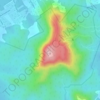
Name: Mont Grand Matoury topographic map, elevation, terrain.
Location: Mont Grand Matoury, Matoury, Cayenne, Guyane, 97351, France (4.86407 -52.35607 4.86417 -52.35597)
Average elevation: 210 ft
Minimum elevation: 10 ft
Maximum elevation: 758 ft
Other topographic maps
Click on a map to view its topography, its elevation and its terrain.
Mont Paramana
Mont Paramana, Matoury, Cayenne, Guyane, 97351, France
Average elevation: 30 ft