
Hastings Hill topographic map
Interactive map
Click on the map to display elevation.
About this map
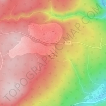
Name: Hastings Hill topographic map, elevation, terrain.
Average elevation: 755 ft
Minimum elevation: 72 ft
Maximum elevation: 1,112 ft
Other topographic maps
Click on a map to view its topography, its elevation and its terrain.
Parc national Fundy
Canada > Nouveau-Brunswick > Fundy National Park
Parc national Fundy, Fundy National Park, Alma Parish, Comté d'Albert, Nouveau-Brunswick, Canada
Average elevation: 755 ft