
Lienzer Klause topographic map
Interactive map
Click on the map to display elevation.
About this map
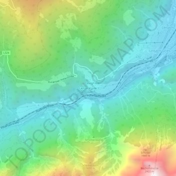
Name: Lienzer Klause topographic map, elevation, terrain.
Location: Lienzer Klause, Lienz, Tirol, 9909, Österreich (46.77564 12.70284 46.81564 12.74284)
Average elevation: 3,973 ft
Minimum elevation: 2,260 ft
Maximum elevation: 8,399 ft