
Nubra topographic map
Interactive map
Click on the map to display elevation.
About this map
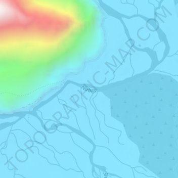
Name: Nubra topographic map, elevation, terrain.
Location: Nubra, Leh, Leh District, Jammu and Kashmir, India (34.59068 77.57797 34.59798 77.60057)
Average elevation: 10,515 ft
Minimum elevation: 10,161 ft
Maximum elevation: 13,064 ft
Other topographic maps
Click on a map to view its topography, its elevation and its terrain.
Ladakh Range
India > Jammu and Kashmir > Leh
Ladakh Range, Leh, Leh District, Jammu and Kashmir, India
Average elevation: 16,194 ft