
Lac Dziani topographic map
Interactive map
Click on the map to display elevation.
About this map
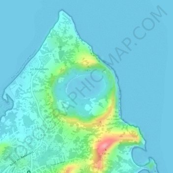
Name: Lac Dziani topographic map, elevation, terrain.
Location: Lac Dziani, Dzaoudzi, Mayotte, France (-12.77264 45.28533 -12.76867 45.29149)
Average elevation: 59 ft
Minimum elevation: -10 ft
Maximum elevation: 413 ft
Other topographic maps
Click on a map to view its topography, its elevation and its terrain.