
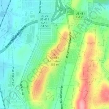
Saddle Mountain topographic map
Interactive map
Click on the map to display elevation.
About this map
Name: Saddle Mountain topographic map, elevation, terrain.
Location: Saddle Mountain, Rome, Floyd County, Georgia, 30161, USA (34.21504 -85.16306 34.21514 -85.16296)
Average elevation: 741 ft
Minimum elevation: 594 ft
Maximum elevation: 1,024 ft