
Lake Cornelia topographic map
Interactive map
Click on the map to display elevation.
About this map
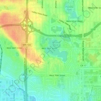
Name: Lake Cornelia topographic map, elevation, terrain.
Location: Lake Cornelia, Edina, Hennepin County, Minnesota, 55435, USA (44.87620 -93.35050 44.88972 -93.33049)
Average elevation: 883 ft
Minimum elevation: 823 ft
Maximum elevation: 955 ft