
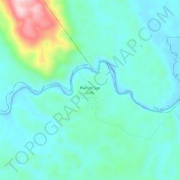
Plan de San Luis topographic map
Interactive map
Click on the map to display elevation.
About this map
Name: Plan de San Luis topographic map, elevation, terrain.
Location: Plan de San Luis, Santiago Jocotepec, Oaxaca, México (17.76806 -95.96139 17.80806 -95.92139)
Average elevation: 384 ft
Minimum elevation: 171 ft
Maximum elevation: 1,230 ft