
Turkey Point topographic map
Interactive map
Click on the map to display elevation.
About this map
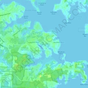
Name: Turkey Point topographic map, elevation, terrain.
Location: Turkey Point, Baltimore County, Maryland, 21220-5203, USA (39.27400 -76.42802 39.31400 -76.38802)
Average elevation: 10 ft
Minimum elevation: -7 ft
Maximum elevation: 49 ft