
Lake Dunmore topographic map
Interactive map
Click on the map to display elevation.
About this map
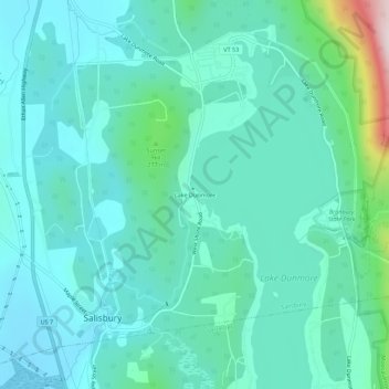
Name: Lake Dunmore topographic map, elevation, terrain.
Location: Lake Dunmore, Addison County, Vermont, 05769, USA (43.88895 -73.10706 43.92895 -73.06706)
Average elevation: 630 ft
Minimum elevation: 335 ft
Maximum elevation: 2,070 ft