
Valley Falls topographic map
Interactive map
Click on the map to display elevation.
About this map
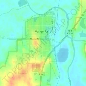
Name: Valley Falls topographic map, elevation, terrain.
Location: Valley Falls, Jefferson County, Kansas, USA (39.32837 -95.46971 39.35079 -95.45317)
Average elevation: 945 ft
Minimum elevation: 899 ft
Maximum elevation: 1,037 ft