
Bear Paw State Natural Area topographic map
Interactive map
Click on the map to display elevation.
About this map
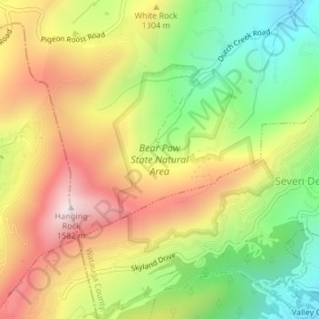
Name: Bear Paw State Natural Area topographic map, elevation, terrain.
Average elevation: 4,098 ft
Minimum elevation: 3,156 ft
Maximum elevation: 5,108 ft