
Tychy topographic map
Interactive map
Click on the map to display elevation.
About this map
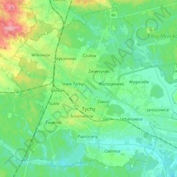
Name: Tychy topographic map, elevation, terrain.
Location: Tychy, GZM, Silesian Voivodeship, Poland (50.07717 18.92527 50.17583 19.09152)
Average elevation: 846 ft
Minimum elevation: 755 ft
Maximum elevation: 1,102 ft