
Mecatan topographic map
Interactive map
Click on the map to display elevation.
About this map
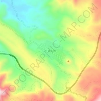
Name: Mecatan topographic map, elevation, terrain.
Location: Mecatan, Nayarit, 63766, México (21.51650 -105.14021 21.55650 -105.10021)
Average elevation: 1,273 ft
Minimum elevation: 574 ft
Maximum elevation: 2,133 ft