
Bantry topographic map
Interactive map
Click on the map to display elevation.
About this map
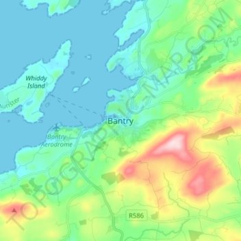
Name: Bantry topographic map, elevation, terrain.
Location: Bantry, County Cork, Munster, P75 RH59, Ireland (51.63977 -9.49236 51.71977 -9.41236)
Average elevation: 220 ft
Minimum elevation: -13 ft
Maximum elevation: 919 ft