
Clayton topographic map
Interactive map
Click on the map to display elevation.
About this map
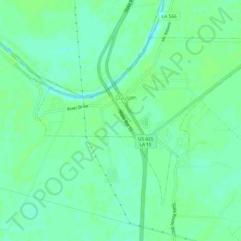
Name: Clayton topographic map, elevation, terrain.
Location: Clayton, Concordia Parish, Louisiana, 71326, USA (31.70581 -91.55850 31.73181 -91.51431)
Average elevation: 59 ft
Minimum elevation: 39 ft
Maximum elevation: 69 ft