
Puerto Misahuallí topographic map
Interactive map
Click on the map to display elevation.
About this map
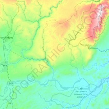
Name: Puerto Misahuallí topographic map, elevation, terrain.
Location: Puerto Misahuallí, Tena, Napo, Ecuador (-1.12079 -77.75489 -0.79815 -77.52775)
Average elevation: 2,228 ft
Minimum elevation: 1,093 ft
Maximum elevation: 5,561 ft