
Waiotapu topographic map
Interactive map
Click on the map to display elevation.
About this map
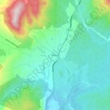
Name: Waiotapu topographic map, elevation, terrain.
Location: Waiotapu, Rotorua District, Waikato, New Zealand (-38.35951 176.34205 -38.31951 176.38205)
Average elevation: 1,463 ft
Minimum elevation: 1,060 ft
Maximum elevation: 2,621 ft