
Sendai topographic map
Interactive map
Click on the map to display elevation.
About this map
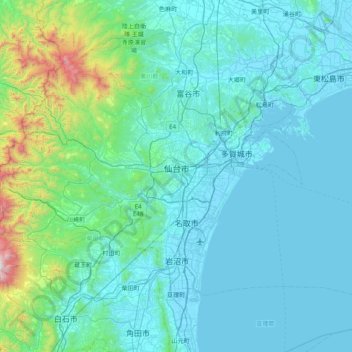
Name: Sendai topographic map, elevation, terrain.
Location: Sendai, Préfecture de Miyagi, Tōhoku, Japon (38.05085 140.46947 38.45470 141.26030)
Average elevation: 607 ft
Minimum elevation: -10 ft
Maximum elevation: 5,902 ft
Other topographic maps
Click on a map to view its topography, its elevation and its terrain.