
Hodgkins topographic map
Interactive map
Click on the map to display elevation.
About this map
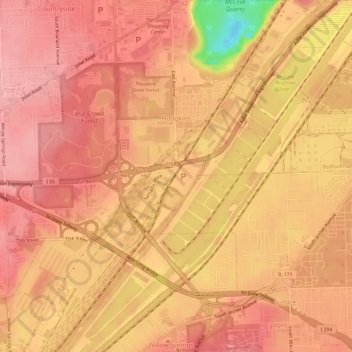
Name: Hodgkins topographic map, elevation, terrain.
Location: Hodgkins, Cook County, Illinois, USA (41.73932 -87.88658 41.78385 -87.83173)
Average elevation: 617 ft
Minimum elevation: 318 ft
Maximum elevation: 715 ft