
Gunung Prau topographic map
Interactive map
Click on the map to display elevation.
About this map
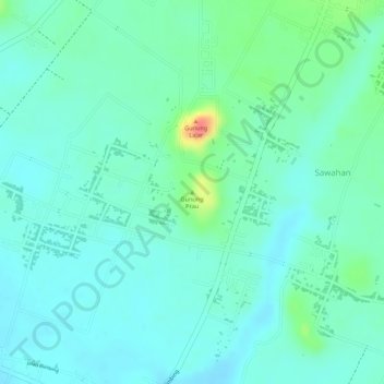
Name: Gunung Prau topographic map, elevation, terrain.
Location: Gunung Prau, Malang, East Java, Indonesia (-8.20922 112.66856 -8.20912 112.66866)
Average elevation: 1,158 ft
Minimum elevation: 1,102 ft
Maximum elevation: 1,325 ft
Other topographic maps
Click on a map to view its topography, its elevation and its terrain.