
Moody Brook topographic map
Interactive map
Click on the map to display elevation.
About this map
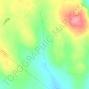
Name: Moody Brook topographic map, elevation, terrain.
Location: Moody Brook, Charleston, Orleans County, Vermont, 05872, USA (44.84194 -72.08217 44.86923 -72.07502)
Average elevation: 1,312 ft
Minimum elevation: 1,148 ft
Maximum elevation: 1,526 ft