
Río Almonte topographic map
Interactive map
Click on the map to display elevation.
About this map
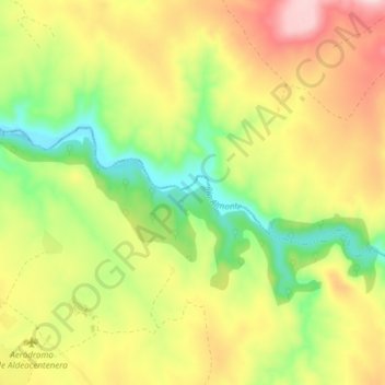
Name: Río Almonte topographic map, elevation, terrain.
Location: Río Almonte, Aldeacentenera, Cáceres, Extremadura, España (39.57376 -5.66760 39.59356 -5.59209)
Average elevation: 1,680 ft
Minimum elevation: 1,283 ft
Maximum elevation: 2,133 ft