
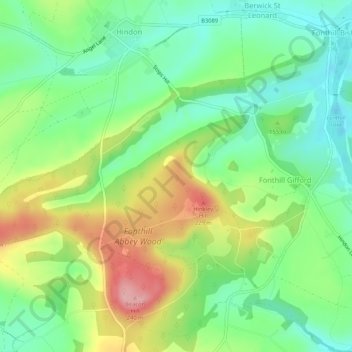
Fonthill Gifford topographic map
Interactive map
Click on the map to display elevation.
About this map
Name: Fonthill Gifford topographic map, elevation, terrain.
Location: Fonthill Gifford, Wiltshire, England, United Kingdom (51.06647 -2.14785 51.09645 -2.09527)
Average elevation: 499 ft
Minimum elevation: 315 ft
Maximum elevation: 794 ft