
Kamalganj topographic map
Interactive map
Click on the map to display elevation.
About this map
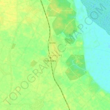
Name: Kamalganj topographic map, elevation, terrain.
Location: Kamalganj, Farrukhabad, Uttar Pradesh, 209724, India (27.23965 79.61232 27.27965 79.65232)
Average elevation: 472 ft
Minimum elevation: 433 ft
Maximum elevation: 502 ft