
Lake Gogebic topographic map
Interactive map
Click on the map to display elevation.
About this map
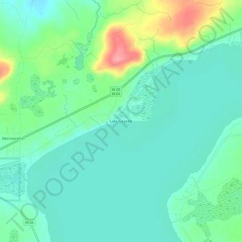
Name: Lake Gogebic topographic map, elevation, terrain.
Location: Lake Gogebic, Ontonagon County, Michigan, USA (46.55661 -89.63127 46.59661 -89.59127)
Average elevation: 1,332 ft
Minimum elevation: 1,240 ft
Maximum elevation: 1,594 ft