
Grenadier topographic map
Interactive map
Click on the map to display elevation.
About this map
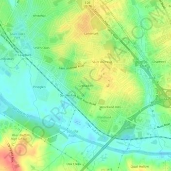
Name: Grenadier topographic map, elevation, terrain.
Location: Grenadier, Lexington County, South Carolina, 29210, USA (34.01987 -81.15398 34.05987 -81.11398)
Average elevation: 243 ft
Minimum elevation: 161 ft
Maximum elevation: 377 ft