
Oosterend topographic map
Interactive map
Click on the map to display elevation.
About this map
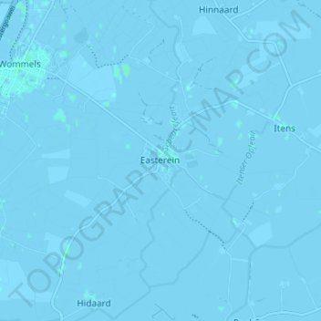
Name: Oosterend topographic map, elevation, terrain.
Location: Oosterend, Friesland, Nederland, 8734, Nederland (53.07699 5.59751 53.11699 5.63751)
Average elevation: -3 ft
Minimum elevation: -10 ft
Maximum elevation: 7 ft