
Houtigehage topographic map
Interactive map
Click on the map to display elevation.
About this map
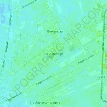
Name: Houtigehage topographic map, elevation, terrain.
Location: Houtigehage, Friesland, Nederland, 9223, Nederland (53.13222 6.12548 53.17222 6.16548)
Average elevation: 13 ft
Minimum elevation: -3 ft
Maximum elevation: 36 ft