
Centennial topographic map
Interactive map
Click on the map to display elevation.
About this map
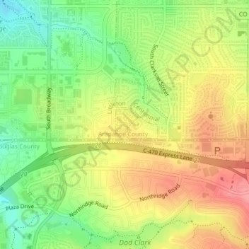
Name: Centennial topographic map, elevation, terrain.
Location: Centennial, Arapahoe County, Colorado, United States (39.56608 -104.97933 39.56940 -104.97583)
Average elevation: 5,650 ft
Minimum elevation: 5,499 ft
Maximum elevation: 5,794 ft
Other topographic maps
Click on a map to view its topography, its elevation and its terrain.
Southglenn
United States > Colorado > Arapahoe County > Centennial
Southglenn, Centennial, Arapahoe County, Colorado, 80121, United States
Average elevation: 5,614 ft