
Metro Parks, Serving Summit County - Offices topographic map
Interactive map
Click on the map to display elevation.
About this map
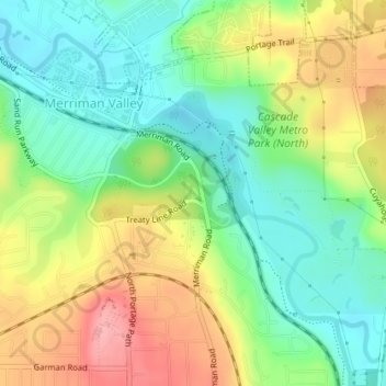
Name: Metro Parks, Serving Summit County - Offices topographic map, elevation, terrain.
Average elevation: 889 ft
Minimum elevation: 728 ft
Maximum elevation: 1,119 ft