
San Fuego topographic map
Interactive map
Click on the map to display elevation.
About this map
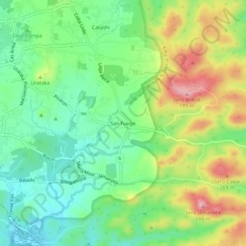
Name: San Fuego topographic map, elevation, terrain.
Location: San Fuego, Aruba, 00297, Nederland (12.48091 -69.97383 12.52091 -69.93383)
Average elevation: 236 ft
Minimum elevation: 0 ft
Maximum elevation: 623 ft