
Gezira Island topographic map
Interactive map
Click on the map to display elevation.
About this map
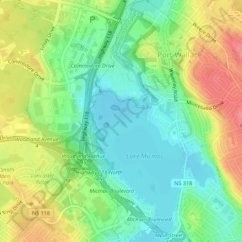
Name: Gezira Island topographic map, elevation, terrain.
Location: Gezira Island, Port Wallace, Dartmouth, Nova Scotia, Canada (44.69547 -63.55675 44.69697 -63.55545)
Average elevation: 154 ft
Minimum elevation: 52 ft
Maximum elevation: 302 ft