
Oregon City topographic map
Interactive map
Click on the map to display elevation.
About this map
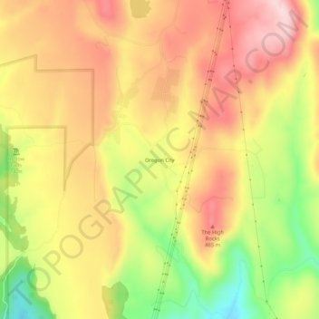
Name: Oregon City topographic map, elevation, terrain.
Location: Oregon City, Butte County, California, United States (39.57377 -121.54941 39.61377 -121.50941)
Average elevation: 1,260 ft
Minimum elevation: 761 ft
Maximum elevation: 1,627 ft