
Raleigh topographic map
Interactive map
Click on the map to display elevation.
About this map
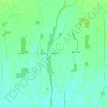
Name: Raleigh topographic map, elevation, terrain.
Location: Raleigh, Rush County, Indiana, 46127, United States (39.72375 -85.38419 39.76375 -85.34419)
Average elevation: 1,010 ft
Minimum elevation: 991 ft
Maximum elevation: 1,030 ft