
Sonyang-myeon topographic map
Interactive map
Click on the map to display elevation.
About this map
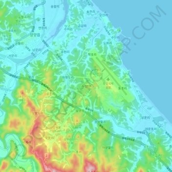
Name: Sonyang-myeon topographic map, elevation, terrain.
Location: Sonyang-myeon, Yangyang-gun, Gangwon-do, 25045, South Korea (38.01651 128.61432 38.09651 128.69432)
Average elevation: 157 ft
Minimum elevation: -10 ft
Maximum elevation: 778 ft