
Việt Quang topographic map
Interactive map
Click on the map to display elevation.
About this map
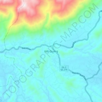
Name: Việt Quang topographic map, elevation, terrain.
Location: Việt Quang, Bắc Quang District, Hà Giang Province, Vietnam (22.37190 104.76612 22.45190 104.84612)
Average elevation: 843 ft
Minimum elevation: 190 ft
Maximum elevation: 3,819 ft