
Kemp topographic map
Interactive map
Click on the map to display elevation.
About this map
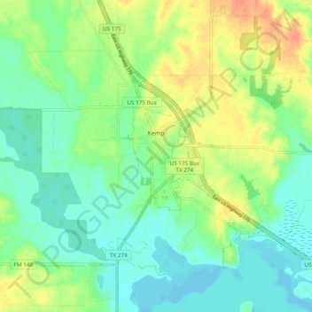
Name: Kemp topographic map, elevation, terrain.
Location: Kemp, Kaufman County, Texas, United States (32.39638 -96.25054 32.47681 -96.18392)
Average elevation: 361 ft
Minimum elevation: 312 ft
Maximum elevation: 440 ft