
Sorrento topographic map
Interactive map
Click on the map to display elevation.
About this map
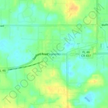
Name: Sorrento topographic map, elevation, terrain.
Location: Sorrento, Lake County, Florida, United States (28.80052 -81.57666 28.81499 -81.55148)
Average elevation: 89 ft
Minimum elevation: 46 ft
Maximum elevation: 141 ft