
Roane topographic map
Interactive map
Click on the map to display elevation.
About this map
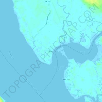
Name: Roane topographic map, elevation, terrain.
Location: Roane, King and Queen County, Virginia, United States (37.42875 -76.72662 37.46875 -76.68662)
Average elevation: 3 ft
Minimum elevation: -7 ft
Maximum elevation: 52 ft