
Tappen topographic map
Interactive map
Click on the map to display elevation.
About this map
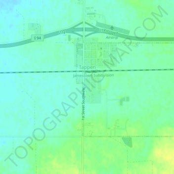
Name: Tappen topographic map, elevation, terrain.
Location: Tappen, Kidder County, North Dakota, United States (46.86419 -99.63909 46.87949 -99.61592)
Average elevation: 1,775 ft
Minimum elevation: 1,752 ft
Maximum elevation: 1,811 ft