
Placer topographic map
Interactive map
Click on the map to display elevation.
About this map
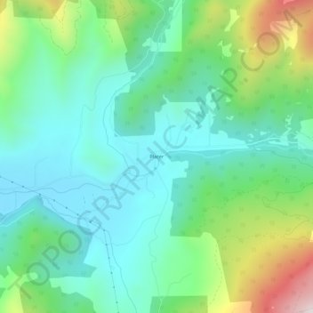
Name: Placer topographic map, elevation, terrain.
Location: Placer, Josephine County, Oregon, United States (42.61206 -123.33534 42.65206 -123.29534)
Average elevation: 2,011 ft
Minimum elevation: 1,302 ft
Maximum elevation: 3,921 ft