
Montezuma topographic map
Interactive map
Click on the map to display elevation.
About this map
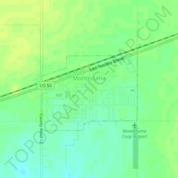
Name: Montezuma topographic map, elevation, terrain.
Location: Montezuma, Gray County, Kansas, United States (37.58987 -100.46602 37.60242 -100.43365)
Average elevation: 2,789 ft
Minimum elevation: 2,759 ft
Maximum elevation: 2,805 ft