
Laymantown topographic map
Interactive map
Click on the map to display elevation.
About this map
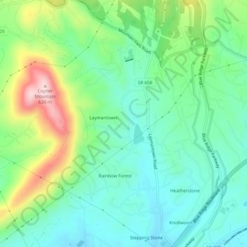
Name: Laymantown topographic map, elevation, terrain.
Location: Laymantown, Botetourt County, Virginia, United States (37.34649 -79.87203 37.38309 -79.83555)
Average elevation: 1,352 ft
Minimum elevation: 1,060 ft
Maximum elevation: 2,028 ft